28 Feb 2026
Geographic Setting and Surroundings
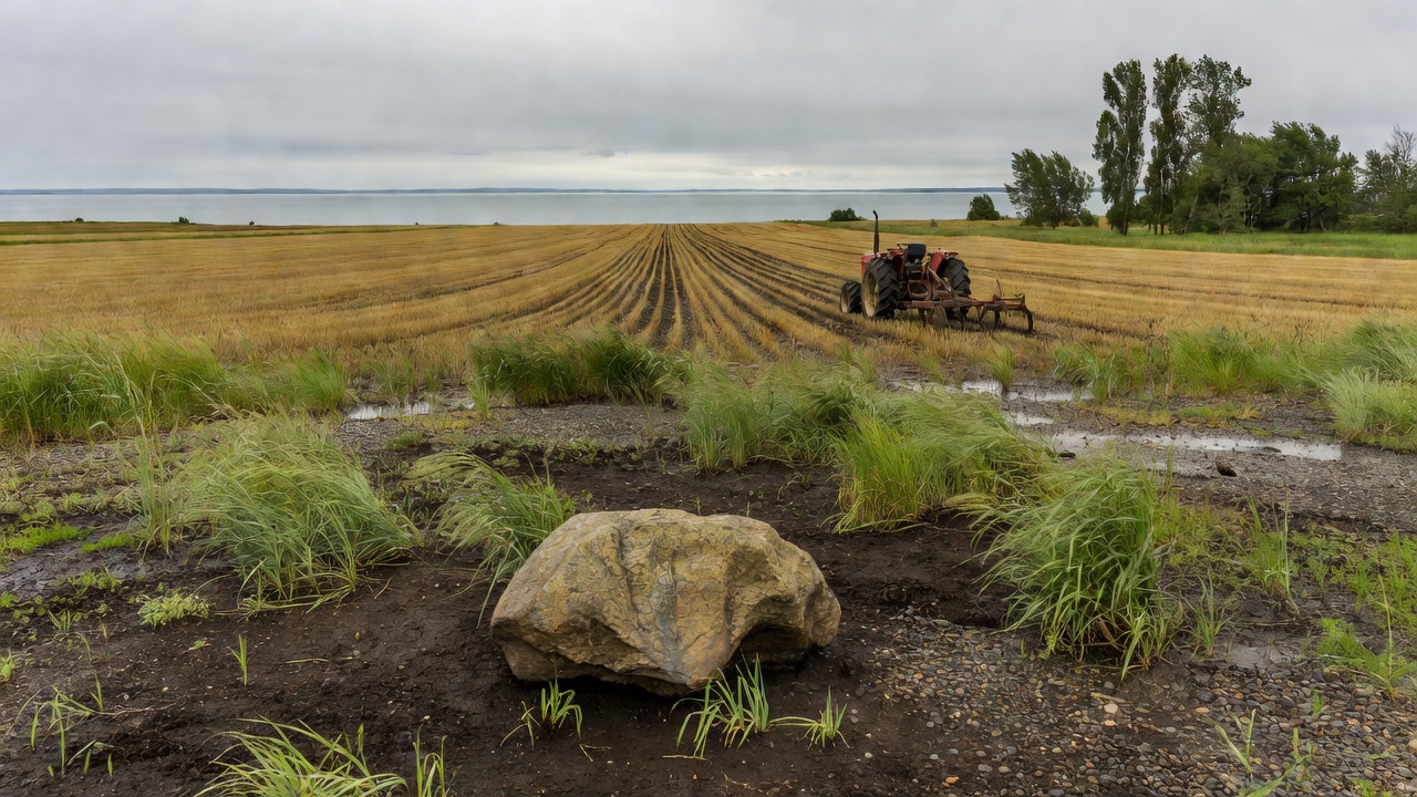
Poplarfield sits in Manitoba's Interlake region, a landscape shaped by glacial history and agricultural development. Positioned between Lake Winnipeg and Lake Manitoba, the area features flat terrain with fertile soils that support grain and livestock operations. Nearby communities such as Arborg and Gimli provide additional context, as residents often share services, markets, and transportation routes along provincial highways.
Historical Development
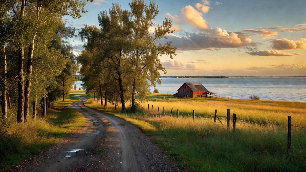
Settlement patterns in Poplarfield reflect broader waves of immigration to western Canada in the late nineteenth and early twentieth centuries. Early arrivals cleared land for farming while establishing basic infrastructure including schools and places of worship. Over decades, the community adapted to changes in rail service, mechanized agriculture, and shifts in rural population. These adaptations mirror trends seen across the Interlake, where small centers balance tradition with practical adjustments to economic conditions.
Contemporary Community Role
Today Poplarfield functions as a quiet residential and agricultural hub. Local farms contribute to regional grain production, while community organizations maintain social connections through events and volunteer efforts. Access to larger centers for healthcare, education, and retail remains important, illustrating the interdependence typical of rural Manitoba. Natural features such as nearby wetlands and mixed-wood forests add recreational value without overshadowing the primary focus on agriculture and local stewardship.
Understanding Poplarfield requires viewing it as part of a larger regional system rather than an isolated point. Its story connects to transportation corridors, soil types, and demographic patterns that define the Interlake as a whole. This perspective highlights steady continuity alongside measured change, offering useful insight for anyone studying rural life in central Canada.